Parents, teachers, governments, and social welfare organizations all want to provide children with the best education possible. In some places, these groups work together to allocate resources, build schools and improve the quality of education. But education officials, organizations and families need information to guide these efforts. Sometimes even the most basic school information -- like school location, fees, class size, or building types -- is unavailable, inaccessible, or out of date. This is especially true in many informal urban settlements, like the Kibera slum in Nairobi, Kenya, where demand for better education data is already well-established.
That's where Open Schools Kenya comes in.
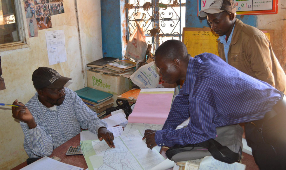
Over the past year, teams from Kibera to Washington, DC have been working to fill this gap. Building on the successful Map Kibera initiative, Open Schools Kenya has mapped, photographed and surveyed every school in Kibera (including government-financed, private, informal and more), hosting all of the data on an OpenStreetMap-based application. This citizen-collected data was linked with other education data sources, including Kenya Open Data government school information, and made accessible both online and offline. A great deal of effort went in to harmonizing and combining existing datasets, and future efforts will incorporate even more data from NGOs, donors, and others.
Collected and updated by citizens of Kibera, Open Schools Kenya is one of the first "living" datasets about education -- anywhere. Users can access profile information for nearly 350 schools; compare services at different institutions; view pictures of the school; and leave comments on a school's page, starting a dialogue between parents and the school administration.
Open Schools Kenya is a joint initiative of GroundTruth Initiative, Map Kibera, Development Gateway, Feedback Labs, and the Gates Foundation.